In order for users to tag their locations in the field, you need to generate a 2D “.MAP” file that can be read by the Verity Photo iOS app. The “.MAP” file format is a proprietary ClearEdge3D format used to represent 2D floorplan maps.
In Navisworks®, make sure you have a 2D map layer in the model. This map needs to be correctly registered/positioned in the model since position information will be taken from this layer.
If you’re working with a model from Autodesk® Revit®, 3D AutoCAD®, or any other 3D modeling program; we would recommend going to a 2D view (Plan/RCP in Revit®, Sheet in AutoCAD®, etc…), exporting a 2D DWG/DXF from that view, and loading it into Navisworks® as a separate file. This will allow you to place annotations like room names or even instructions for your field team into the 2D file for the purpose of map export. Once it is loaded in Navisworks®, select that specific file/layer and then generate the map file using the Verity Photo plugin.
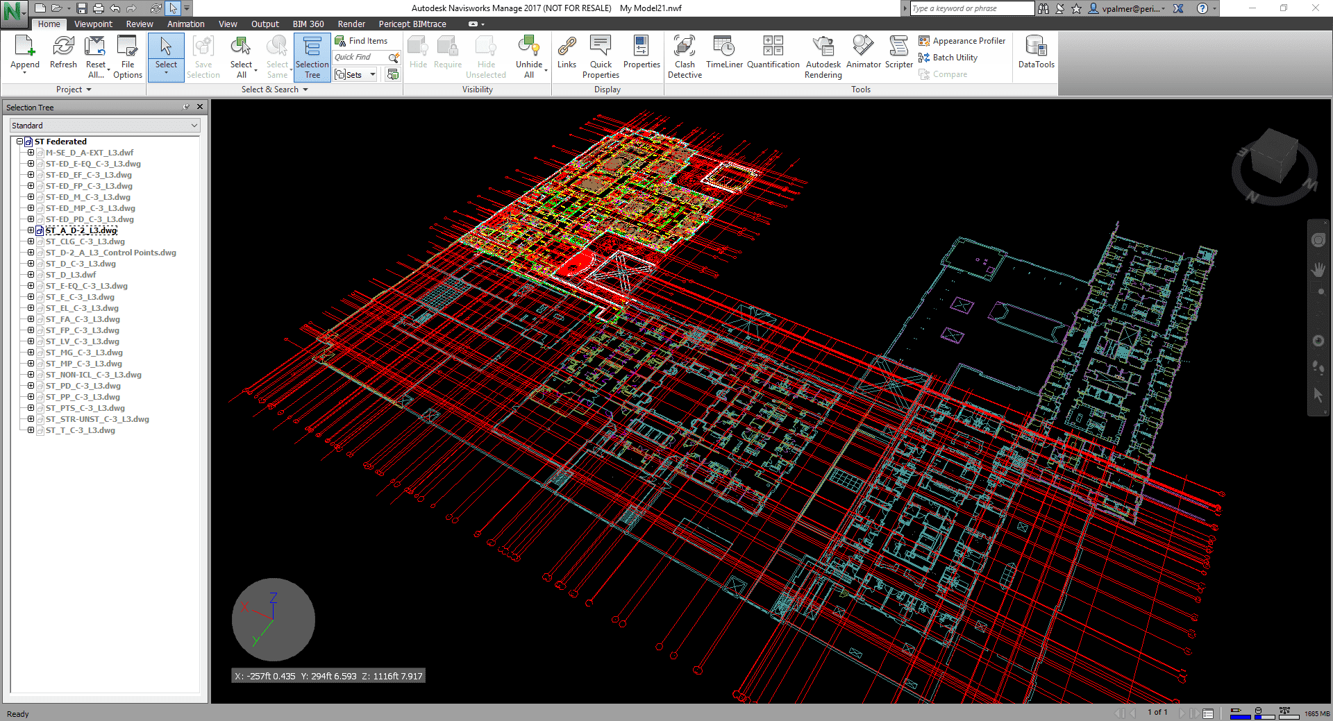
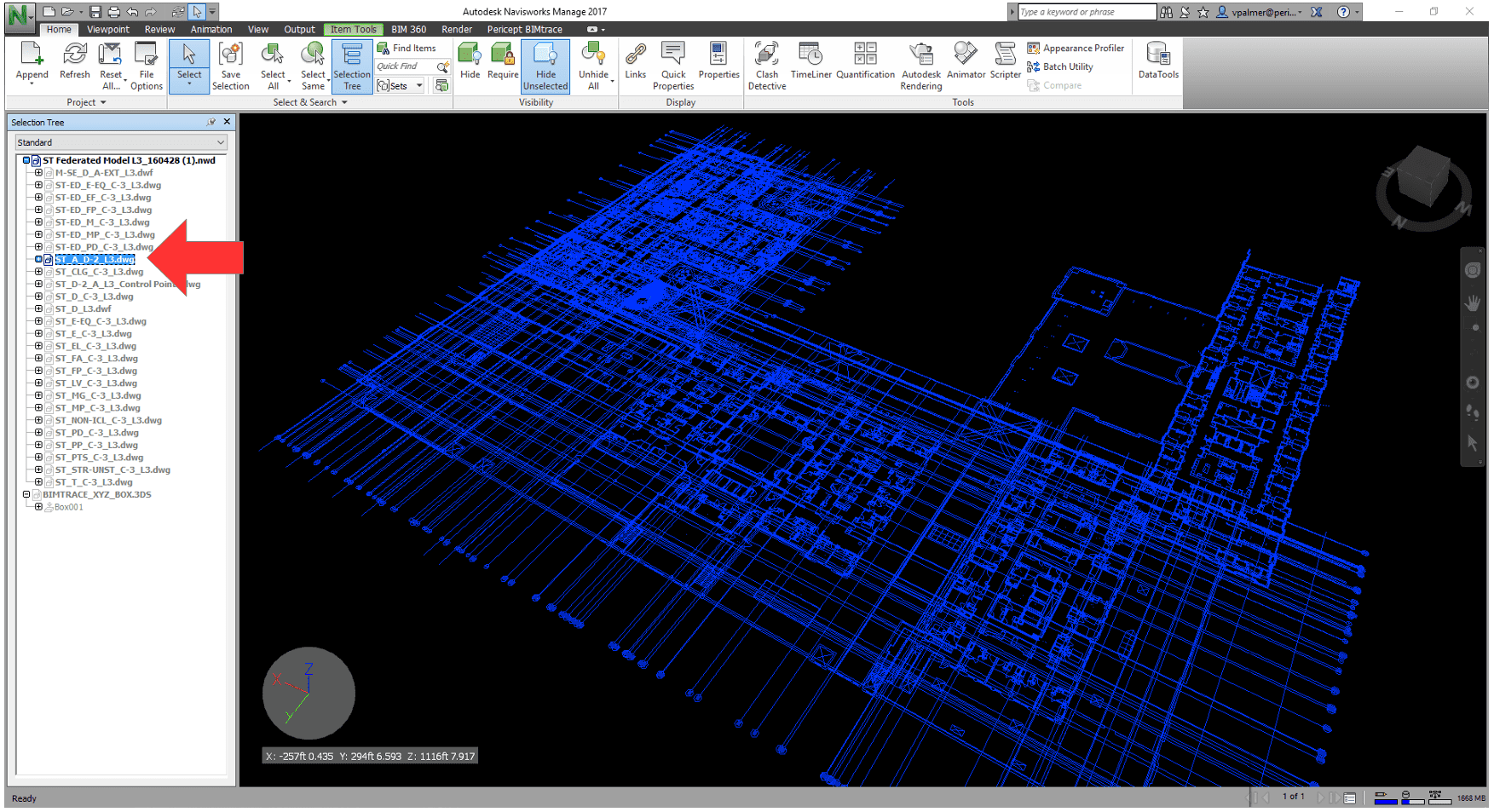
Select the map layer …
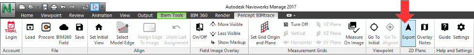
And choose “2D Plans > Export” in the Verity Photo toolbar
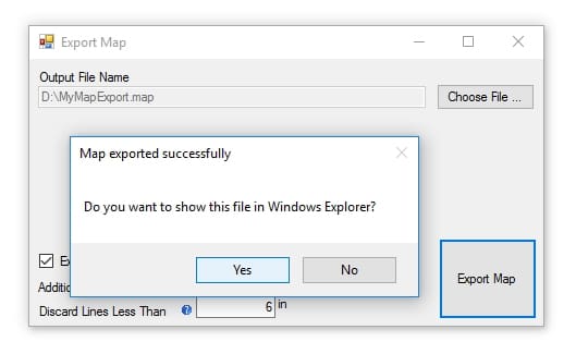
Choose an output filename for the MAP export. Here we selected to export to a file D:\MyMapExport.map
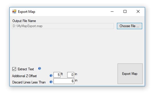
The options in the bottom left of the Export Map window are as follows:
Extract Text: If this is checked, Verity Photo will use Optical Character Recognition (OCR) to try and recognize text labels in the Navisworks® model and preserve them in the final MAP file. This way users will be able to see text labels on the map when they tag their locations.
Additional Z Offset: Floorplan map layers are often positioned at the ‘ground’ level in Navisworks® model. If no offset is specified, when users tag their location, they will tag themselves exactly at the level of the map layer in the Navisworks model … i.e., if the layer is at floor level, the position will be tagged on the floor. It can be more convenient to enter a Z-offset, since the users will actually be about 5 feet off the ground (for an average sized human) when they take the photo.
Discard Lines Less Than: Often, floorplan maps in Navisworks® can have very fine details that are not needed for users to tag their location. This option will ‘skip’ over lines in the model that are less than the specified length, which helps reduce the size of the final exported MAP file. To perfectly preserve every line in map, this can be set to zero, though this is not recommended.
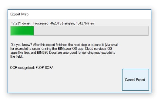
Click “Export Map” to start the export process …
After the map export is complete, Verity Photo will ask you if you’d like to locate the export in Windows Explorer: