
For a recent scan-to-BIM project at a wastewater facility, AECOM built a workflow around traditional laser scanning, mobile mapping, and ClearEdge3D’s automated scan-to-BIM modeling software, EdgeWise. This enabled them to finish significant modeling before on-site scanning was complete — and cut weeks from the project timeline.
The Project
As-Built Modeling at a Complex Wastewater Treatment Facility
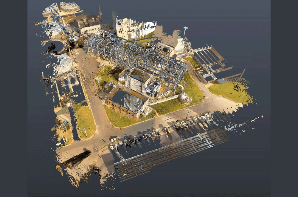
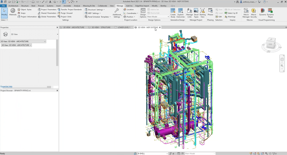
AECOM was tasked with capturing and modeling architectural and MEP elements for an expansive wastewater treatment facility located in a challenging urban environment. The facility spans both aboveground and underground structures, with a complex layout spread across multiple levels, 150 feet below the surface. This intricate setting demanded an accurate and efficient scan-to-BIM workflow to meet the project’s tight timeline and LOA 200 accuracy requirements.
The Challenge
Proving Digital Technologies for Faster Delivery
This project was an ideal test for AECOM’s Digital Practice Innovation group to demonstrate a faster, more efficient workflow. The wastewater facility’s multi-level layout and extensive MEP systems demanded both high accuracy and speed. Aligning data from SLAM and TLS technologies, each with different accuracy levels, was critical to delivering a cohesive, reliable model.
The Workflow
Capture and modeling in parallel
First, AECOM placed an extensive network of control points to ensure that the data captured by different scanning methodologies aligned cleanly. They began by placing points outside the facility, then worked their way into the facility, placing multiple control points and targets throughout the interior.
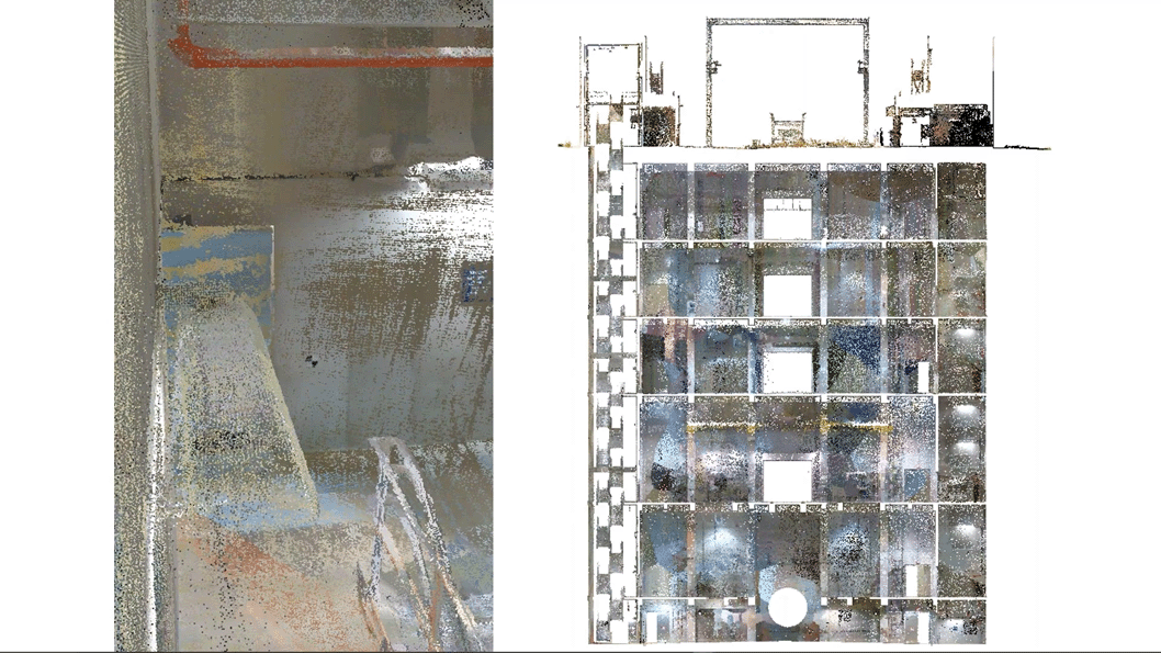
Given that the facility was spread over multiple levels, the team was careful to place vertical control in the stairways. This ensured that they could align the individual levels of the site properly along the vertical axis.
Next, they captured each level of the facility separately with the NavVis VLX. The capture technician followed best practices and locked the scan down to control points using the system’s built-in control point functionality, which reduces drift and improves relative accuracy. Then, they captured the stairs. After that, the team repeated the process using the TLS scanners.
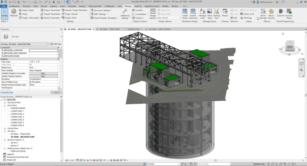
As the capture process began, the modeling team had already begun building out the Revit model. They started with the PDF plans for the site, which were enough to start modeling levels, doors, windows, and other basic elements. When they received the NavVis VLX data from the capture team, they inserted it into the Revit model, which gave them a jump start on adjusting the model to match existing conditions.
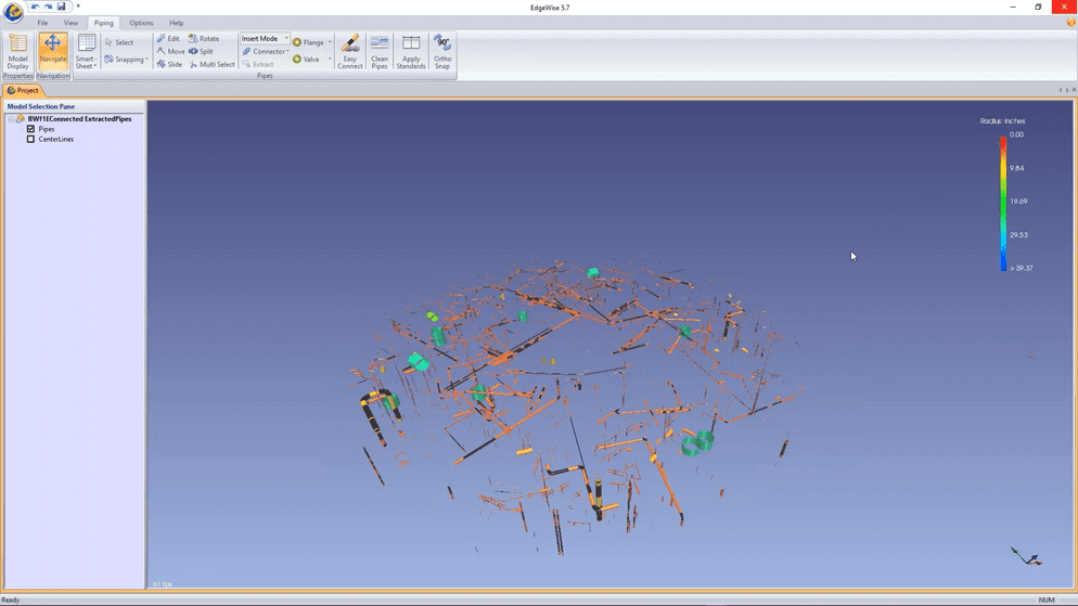
Next, they processed the NavVis VLX data in EdgeWise, which processed larger MEP elements — enough to give them an early overview of the MEP in the facility.
With this workflow, the team was able to complete significant modeling before the terrestrial scanning was even completed in the field. When the TLS data did come in two weeks later, they processed it with EdgeWise, which automatically produced models for much of the remaining MEP. Then, they finished the model manually.
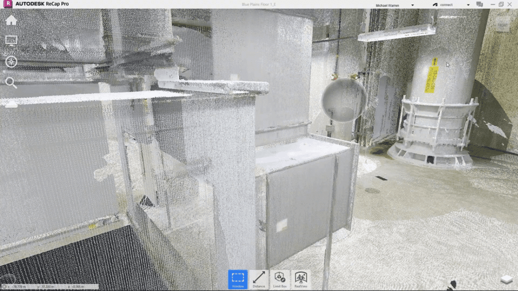
At the end of this process, the team ran QA by creating IFC, checking with building check files, running clash detection of the model against the original point cloud, and so on.
The Results
Highly accelerated project timeline
Throughout the process, AECOM’s team discovered that TLS, mobile mapping, and automated modeling are great technologies individually. And they’re even better when you bring them all together.
The most obvious benefit is project delivery speed. The NavVis VLX capture took only one day to complete and send to the modeling team. This enabled them to get started on the Revit model immediately rather than waiting another two weeks for the TLS scanning to finish. And using EdgeWise to begin the process of modeling MEP meant the team was able to model about 40% of the piping and conduit automatically. Much of this piping model was within a credit card’s thickness of real-world dimensions (RMSE value of less than 0.08 inches), ensuring exceptional accuracy alongside the speed.
Together, these technologies reduced the total time of delivery to four weeks. With a workflow relying strictly on TLS and manual modeling, it might have taken AECOM seven weeks or longer.
The Conclusion
Fast, high-quality as-built modeling
Even with this significant increase in speed, AECOM found that the data quality didn’t suffer. They say that when the NavVis VLX dataset was combined with the TLS dataset, everything overlapped in a clean manner to produce a dense point cloud that was heavily populated with information. This integration not only saved time but also ensured high accuracy, with critical elements like piping achieving near-perfect alignment with real-world conditions.
“When used in the right applications, these technologies give the best of both worlds — speed and quality. And it’s the important kind of speed, the speed of actually being able to do your work. This workflow was a huge time saver.”