EDGEWISE LITE: POINT CLOUD TO REVIT-READY AS-BUILTS, $1,995 USD/YR GET THE DETAILS

Technology Partners

EdgeWise and Verity support an end-to-end scan-to-BIM workflow, from capture to verification. Hardware agnostic by design, our software works with point cloud data from a wide range of scanners and mobile mapping systems.

Our partners help ensure reliable data capture, processing, and interoperability at every stage, so your team can move from point cloud to verified as-built model with confidence.

Hardware Partners

Topcon logo
Parent company TLSSLAM

ClearEdge3D is a wholly owned subsidiary of Topcon. EdgeWise and Verity integrate with a range of Topcon’s terrestrial and SLAM scanning hardware.

✓ Total Station Integration
✓ Field & office point cloud processing with Collage
✓ Automated modelling & construction verification

Learn more →

► See workflow
1. Scan

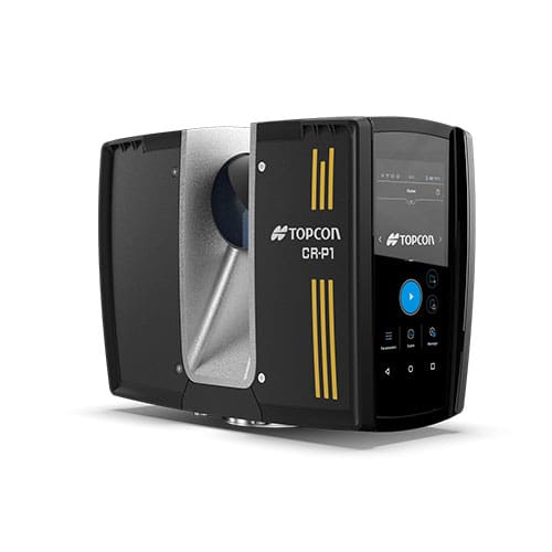
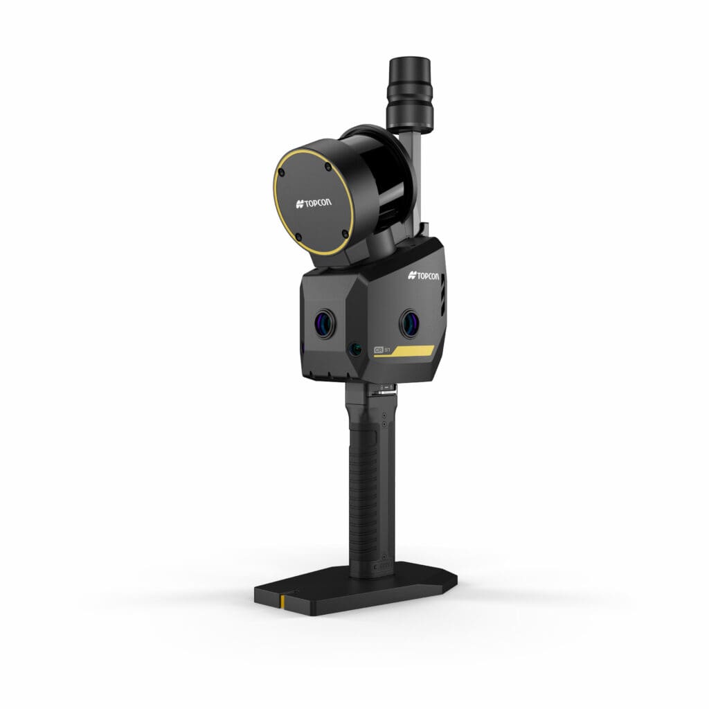
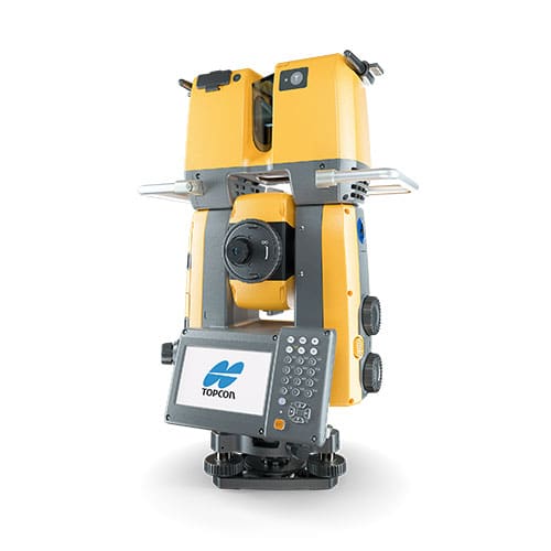
Topcon scanners including the CR-P1 , CR-S1, and GTL-1200 (pictured)

Topcon CR-P1Topcon CR-S1Topcon GTL-1200

2. Register

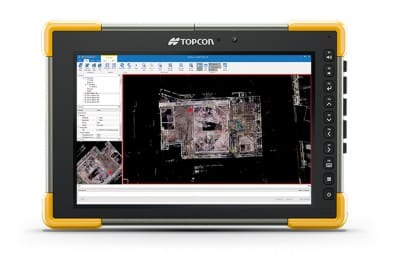
Process your point cloud with Topcon Collage in the office or Collage Site in the field.Topcon Collage point cloud registration

3. Import & Extract Features

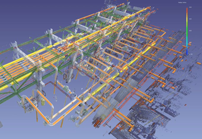
Process your Topcon point cloud in EdgeWise to automatically extract pipes, walls, ducts, structural steel, and more.

4. BIM Output

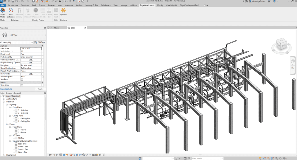
Revit / CAD model

5. Verify

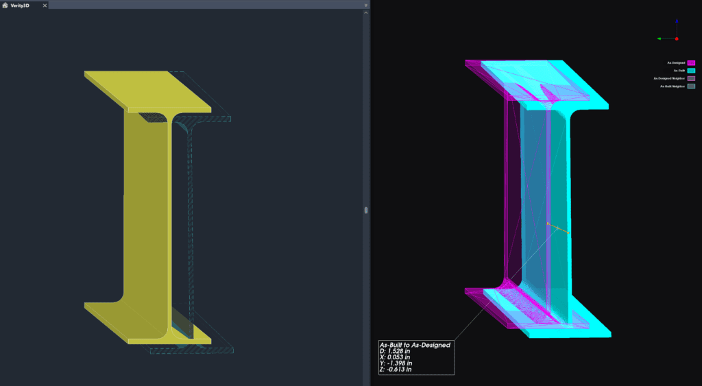
Verify as-built model against design model with Verity (Revit & Navisworks)side by side of i-beam in Revit after Verity analysis, showing difference between model location and point cloud

NavVis logo
SLAM

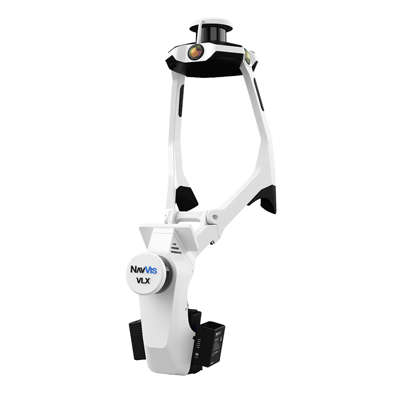
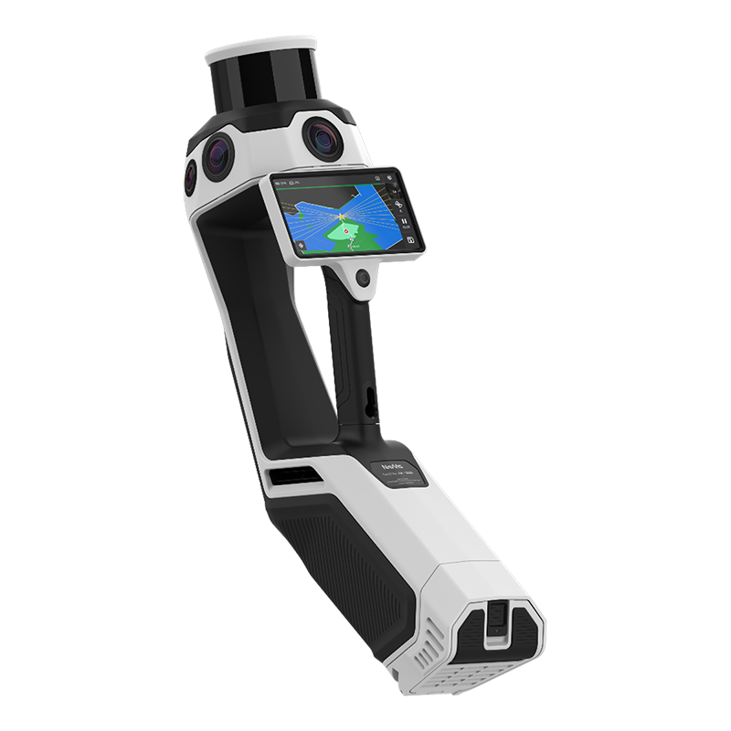
NavVis SLAM scanning hardware pairs with EdgeWise for fast, high-density point cloud capture on large or complex job sites.

✓ Mobile reality capture
✓ High-density capture
✓ Large site coverage

Learn more →

► See workflow
1. Scan

NavVis LX-Series capture

2. Process

NavVis IVION / 3rd party

3. Import & Extract Features

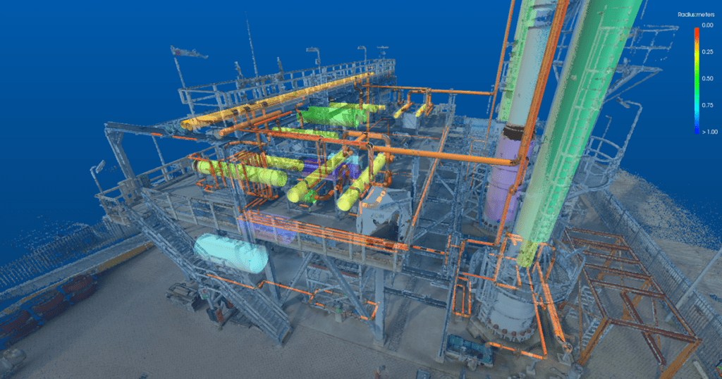
Process your NavVis SLAM point cloud in EdgeWise to automatically extract pipes, walls, ducts, structural steel, and more.

4. BIM Output

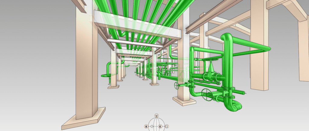
Revit / E3D / CAD model

SLAM EdgeWise Lite

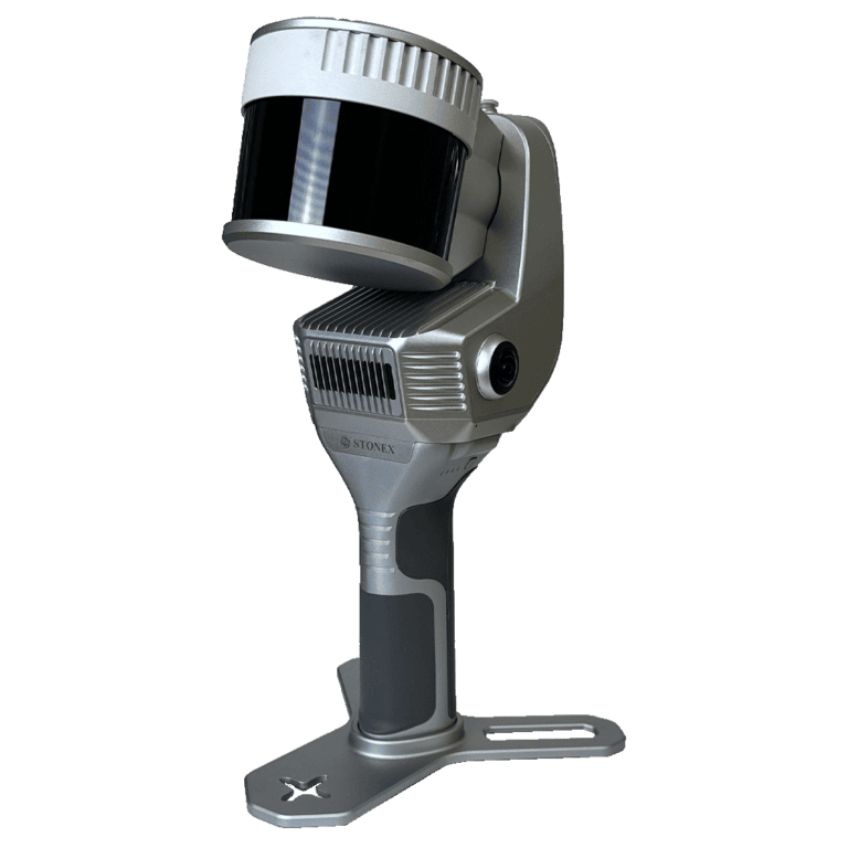
Select Stonex SLAM scanners are bundled with EdgeWise Lite, our semi-automated modeling tool. Giving surveying & construction teams an ideal SLAM scan-to-BIM workflow.

✓ EdgeWise Lite for Stonex
✓ Optimized for SLAM point clouds
✓ Semi-automated pipe and structural steel modeling

Learn more →

► See workflow
1. Scan

Using a Stonex SLAM Scanner, including the X200GO (pictured), directly generate a global point cloud.

Stonex X200GO SLAM Scanner

2. Import & Extract Features

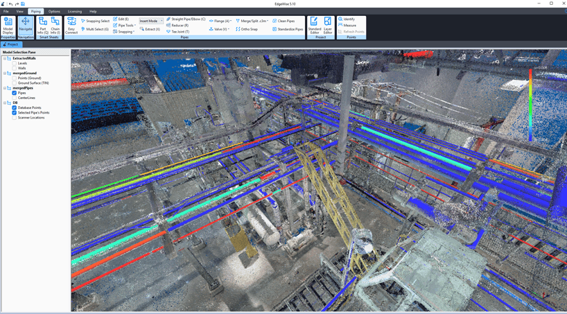
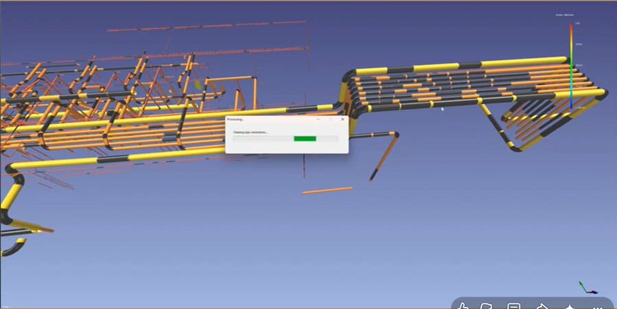
Process your Stonex SLAM point cloud in EdgeWise Lite to semi-automatically extract pipes and structural steel.

stonex point data in edgewise lite piping extracted

3. BIM Output

Revit / CAD model

Zoller+Fröhlich logo
TLS

Z+F high-accuracy terrestrial laser scanners are fully supported in EdgeWise, trusted by surveyors and AEC professionals for demanding scan-to-BIM projects.

✓ High-density terrestrial scans
✓ Structural & MEP modeling
✓ Native Revit & Plant 3D exports
► See workflow
1. Scan

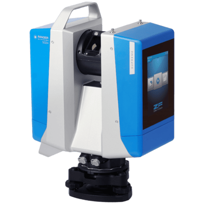
Z+F IMAGER TLS capture

Z+F IMAGER TLS capture

2. Register

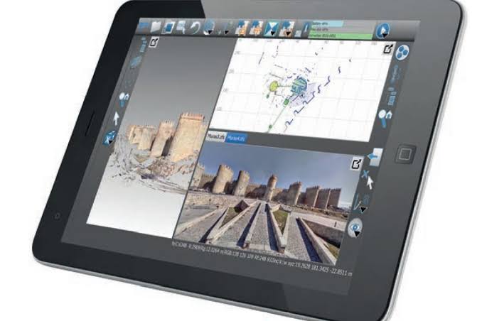
Z+F LaserControl® / 3rd party
zf lasercontrol scout tablet

3. Import & Extract Features

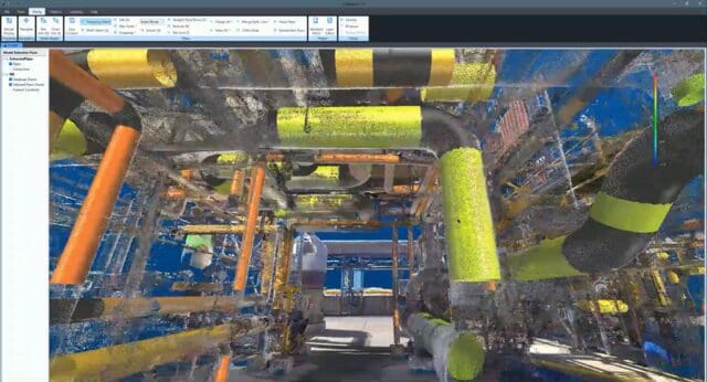
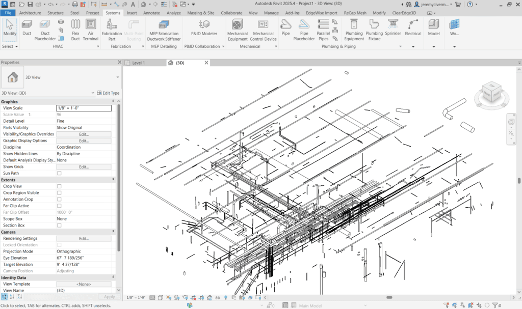
Process your Z+F terrestrial laser scan in EdgeWise to automatically extract pipes, walls, ducts, structural steel, and more.Z and F scanner pipes extracted with edgewise

4. BIM Output

Revit / CAD model
Z and F scanner pipes extracted in EdgeWise and imported into Revit

5. Verify

Verify as-built model against design model with Verity (Revit & Navisworks)side by side of i-beam in Revit after Verity analysis, showing difference between design model location and point cloud

GEXCEL logo
SLAM

GEXCEL SLAM scanning solutions integrate with EdgeWise to support efficient point cloud capture and processing for AEC and reality capture workflows.

✓ High-Accuracy & True Color: HERON wearable SLAM captures dense, highly accurate colorized 3D data
✓ Multi-Sensor Unified Projects: Reconstructor merges HERON, TLS, and mobile mapping and drone point clouds into a single project
✓ Automated feature extraction

Learn more →

► See workflow
1. Scan

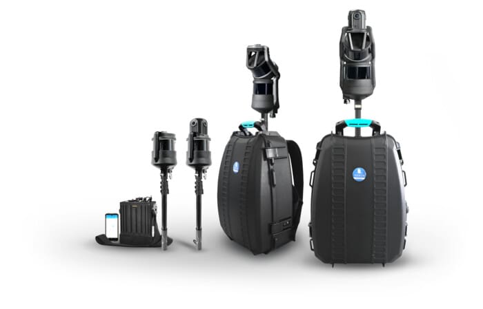
Gexcel HERON SLAM capture (no calibration and loop closure need)

GEXCEL Heron Family SLAM scanners

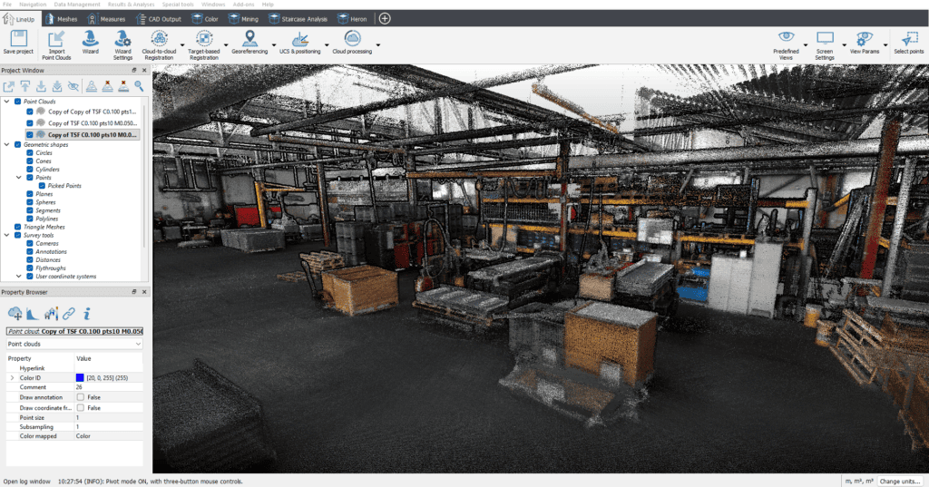
2. Point Cloud Processing (on premise / desktop software)

HERON Desktop (SLAM patent Algorithm)
Reconstructor

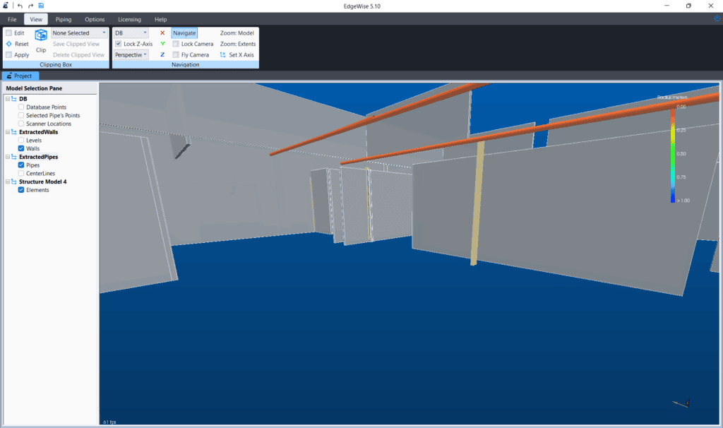
3. Import & Extract Features

Process your GEXCEL HERON point cloud in EdgeWise to automatically extract pipes, walls, ducts, structural steel, and more.GEXCEL HERON EdgeWise feature extraction

4. BIM Output

Revit / CAD model

OmniSLAM Logo
SLAM

OmniSLAM scanning hardware pairs with EdgeWise for fast, high-density point cloud capture across large or complex job sites.

✓ SLAM-based capture
✓ EdgeWise compatible
✓ Large site coverage

Learn more →

► See workflow
1. Scan

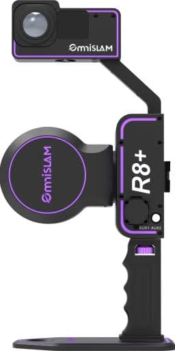
OmniSLAM handheld/vehicle-mounted capture such as the R8+ (pictured)

OmniSLAM R8+

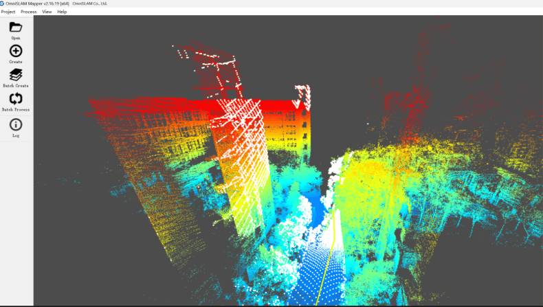
2. Register & Process

On-premise point cloud registration and processing with OmniSLAM Mapper
OmniSLAM Mapper

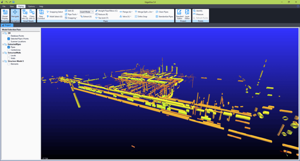
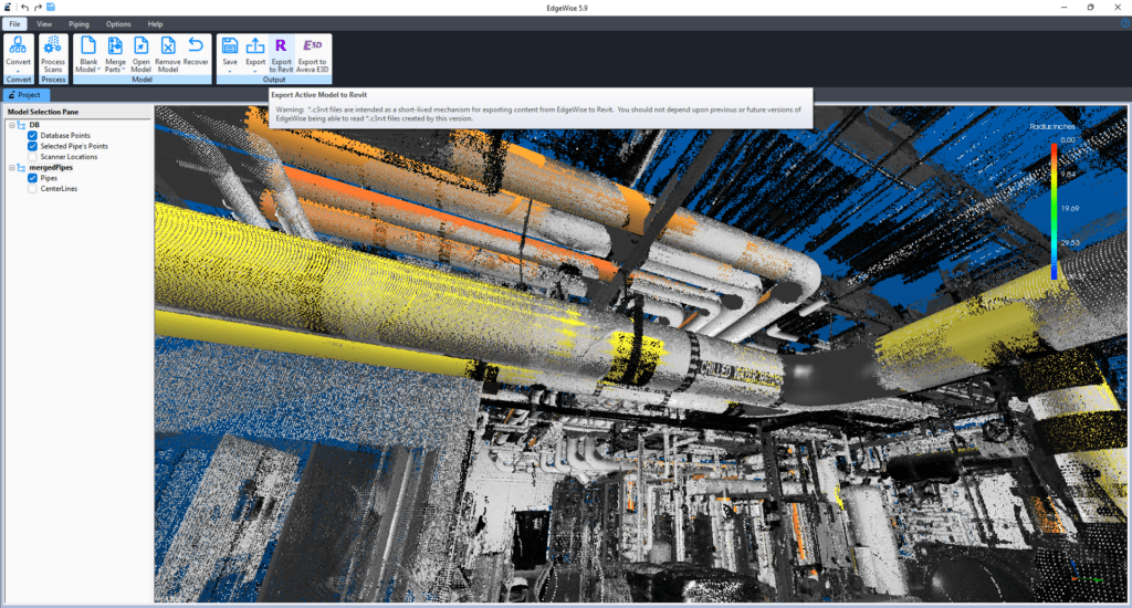
3. Import & Extract Features

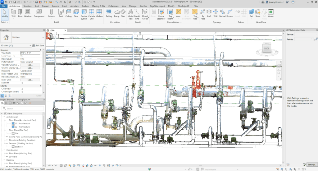
Process your OmniSLAM point cloud in EdgeWise Pro to automatically extract pipes, walls, ducts, structural steel, and more.OmniSLAM feature extraction with EdgeWise

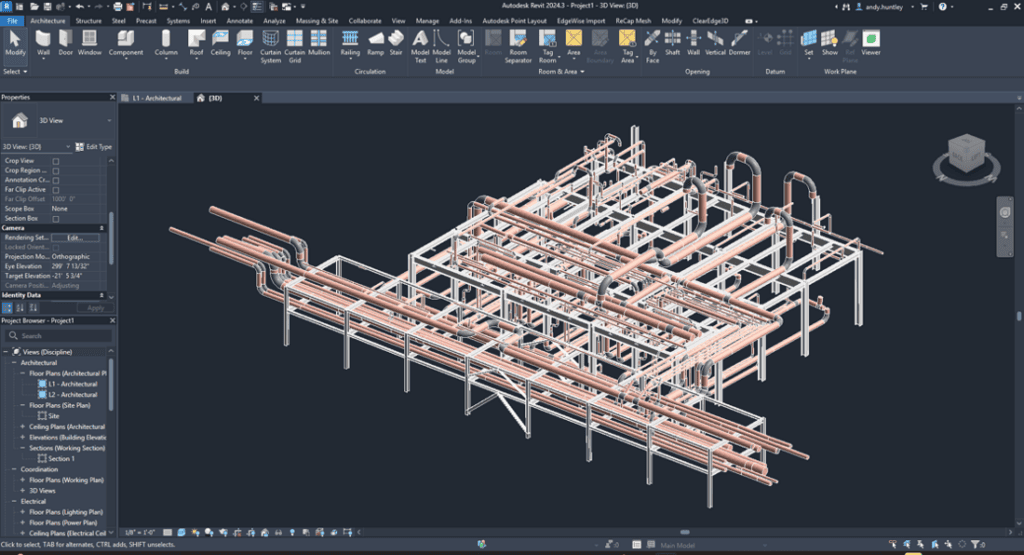
4. BIM Output

Revit / CAD modelOmniSLAM and EdgeWise scan-to-BIM model loaded in Revit

Software Partners
Autodesk Authorized Developer badge
Revit Plant 3DNavisworks

As an Autodesk Developer Network member, ClearEdge3D builds and maintains deep, direct integrations across the Autodesk ecosystem — powering both EdgeWise and Verity.

✓ EdgeWise native Revit export
✓ EdgeWise Plant3D integration
✓ Verity Revit integration
✓ Verity Navisworks integration

Learn more →

► See workflow
1. Scan

Any compatible scanner

2. Register

ReCap / 3rd party

3. Import & Extract Features

Process your point cloud in EdgeWise to automatically extract pipes, walls, ducts, structural steel, and more.

4. BIM Output

Revit / AutoCAD

5. Verify

Verify as-built model against design model with Verity (Revit & Navisworks)side by side of i-beam in Revit after Verity analysis, showing difference between design model location and point cloud

AVEVA Partner Ecosystem logo
E3D Plant

EdgeWise Pro supports direct export to AVEVA E3D and Plant, enabling accurate as-built models for industrial and process plant projects.

✓ AVEVA E3D export
✓ Plant design workflows
✓ Industrial as-built modeling

Learn more →

► See workflow
1. Scan

TLS plant/facility capture

2. Register

3rd party registration

3. Import & Extract Features

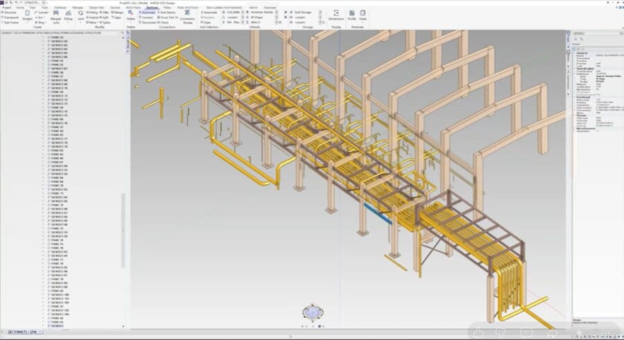
Process your point cloud in EdgeWise Pro to automatically extract pipes and structural steel for direct export to AVEVA E3D and Plant.

4. BIM Output

AVEVA E3D / Plant

5. Verify

Verify as-built model against design model with Verity (Revit & Navisworks)side by side of i-beam in Revit after Verity analysis, showing difference between design model location and point cloud

Frequently Asked Questions

Is EdgeWise/Verity hardware agnostic? Does it work with any scanner?

Yes. EdgeWise and Verity are hardware agnostic and work with point cloud data from a wide range of terrestrial laser scanners and mobile mapping systems, including Topcon, NavVis, Stonex, Zoller + Fröhlich, OmniSLAM and GEXCEL.

Can EdgeWise be used alongside Autodesk Revit and other BIM platforms?

Yes. EdgeWise automates the creation of BIM-ready models from point cloud data and integrates directly into Revit and other platforms, so teams can bring accurate as-built geometry straight into their existing BIM workflow.

How difficult is it for a BIM team to adopt EdgeWise or Verity into existing standards?

EdgeWise and Verity are designed to fit into existing BIM Execution Plans and QA/QC standards, and ClearEdge3D provides support to help teams incorporate them into their workflow with minimal disruption.

Can EdgeWise or Verity be used for reality-based progress tracking on construction projects?

Yes. At project milestones, EdgeWise can process scans into an updated as-built model. By comparing periodic scans against the design model, Verity can track construction progress and flag deviations as work is completed, giving teams an objective, scan-based view of progress rather than relying on manual site walks alone.